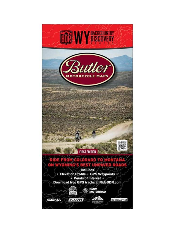
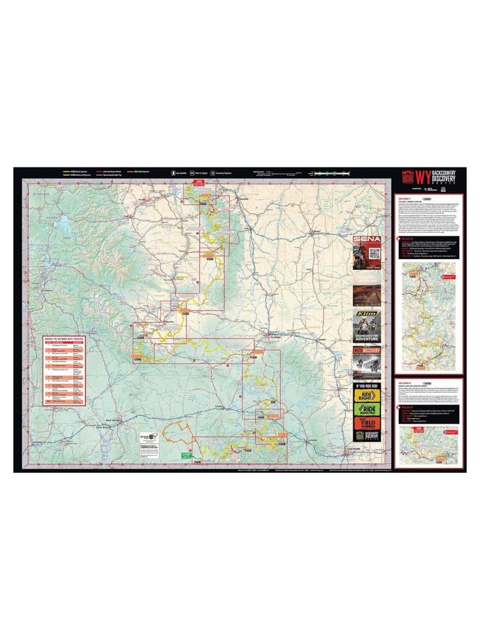
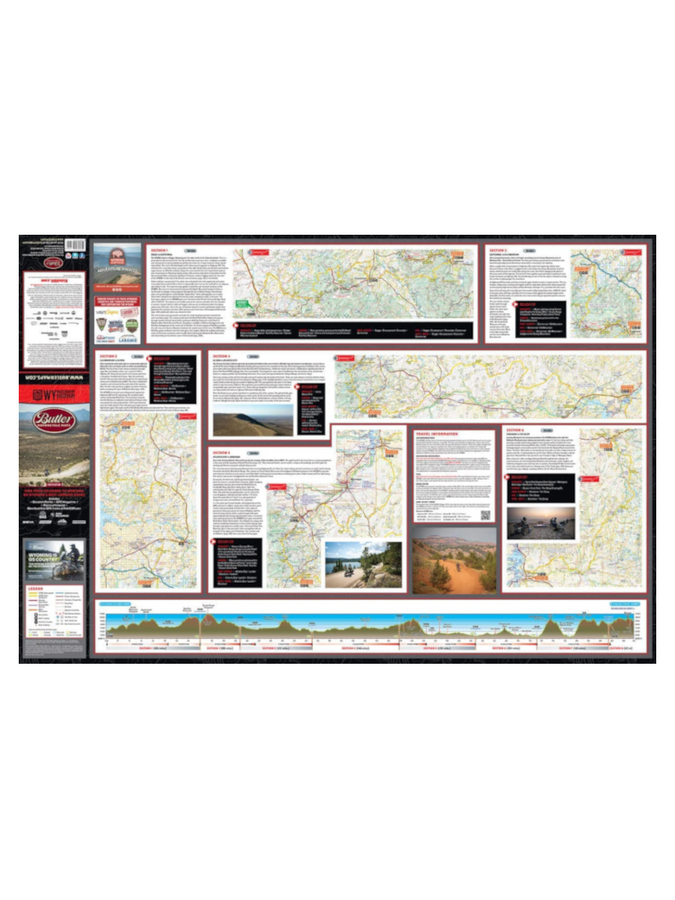
Beginning in Baggs, WY, the route traces the mountain ranges to the east through the Sierra Madre and Medicine Bow Ranges, crosses west to the Wind River Range, then goes back east and north through the Bighorn Mountains, eventually ending at a remote Wyoming-Montana border.
Almost every section includes some moderately technical riding, as the remote two-track flows through regions of vast high-desert, short-grass prairies, and alpine climates. You will experience expansive views from the summit of two different 11,000-foot mountains, cross two major rim escarpments and pass through many other seldom visited areas and historic mining towns.
This is the most remote BDR, so plan ahead and be prepared to have a true backcountry adventure.
The road can be tough on your gear. Butler Maps are designed to withstand abuse.
- Waterproof / Tear Resistant
- Each Butler Map folds to 4.25” x 9” to easily fit in tank and tail bags
- Butler Maps can be folded to fit within map cases


