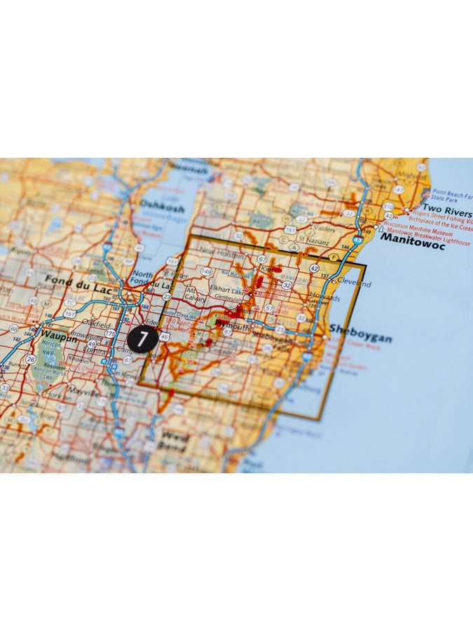
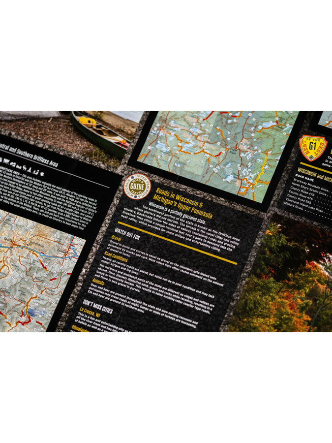
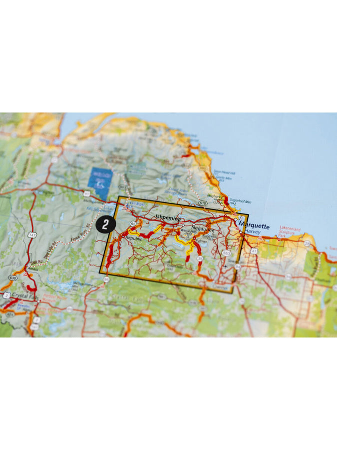
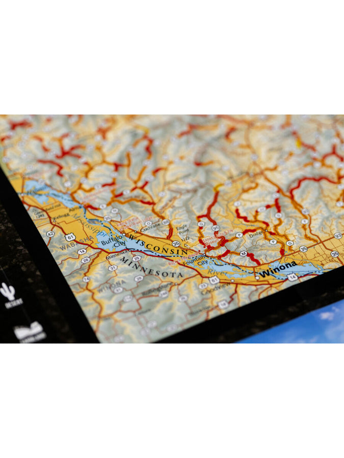
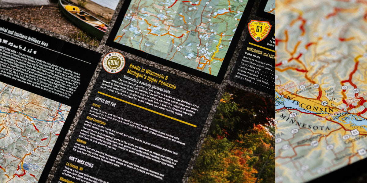
The western part of Wisconsin features the Mississippi River and St. Croix River valleys as well as many other tributary rivers and streams, which would explain the reason for all of the winding roads in this area.
The Superior Upland area (below Lake Superior and the border with Michigan) is heavily forested with rolling hills with elevations ranging from about 700 ft to slightly under 2,000 ft. Finally, the southern region of Wisconsin is a section called the Driftless Area.
This beautiful and unique section of the state is characterized by jagged & rugged terrain with many cliffs and other rock outcroppings, which is sure to make your motorcycle rides an unforgettable experience.
The road can be tough on your gear. Butler Maps are designed to withstand abuse.
- Waterproof / Tear Resistant
- Each Butler Map folds to 4.25” x 9” to easily fit in tank and tail bags
- Butler Maps can be folded to fit within map cases
Need Any Help? Ask Our Support Team!

The Item Was Added To Your Cart
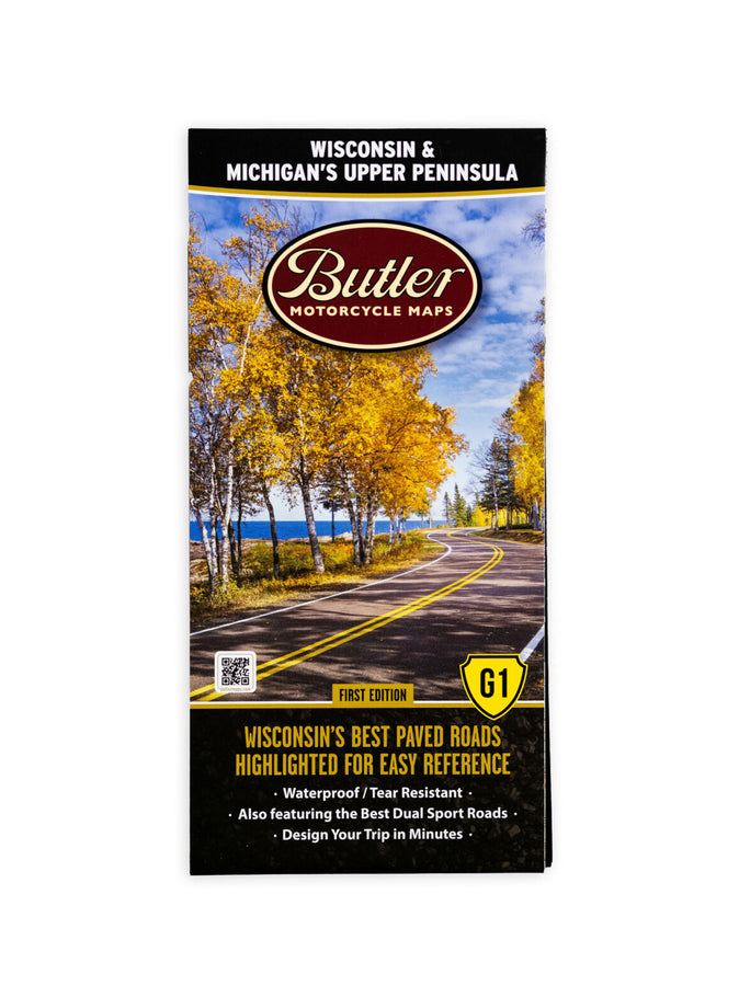
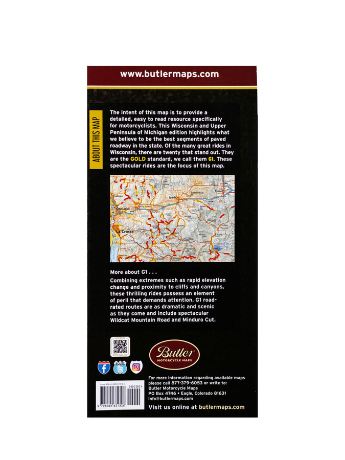
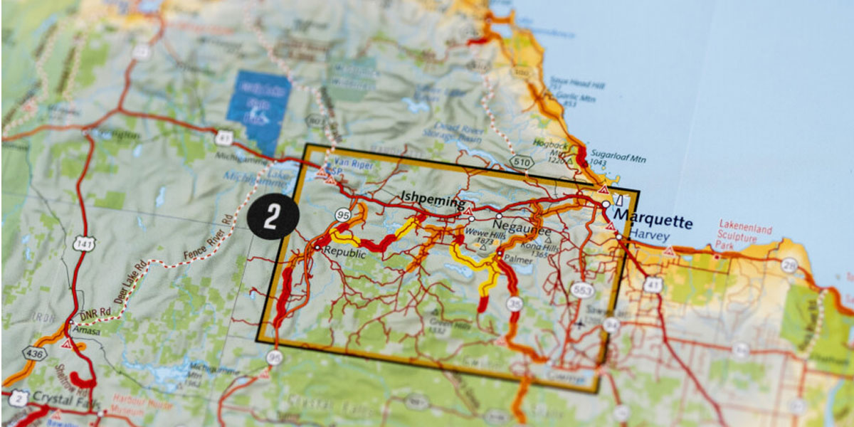
Butler Wisconsin and Michigan's Upper Peninsula G1 Map
